Snapshots - California Counties

Bay Area

Home
California Map
Bay Area
Bay Area, continued
Shasta Cascade
North Coast
Central Coast
High Sierras
Gold Country
Southern California
Central Valley
Central Valley, continued
Related Links
Contact Us

Photos from around the San Francisco Bay Area

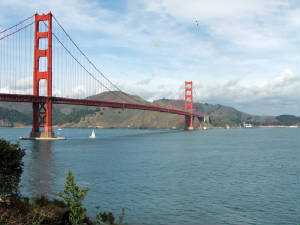
San Francisco County
sanfrancisco2.jpg
December 2007

The Golden Gate Bridge, as seen from the east, just outside the Fort Point National Historic Site.
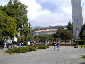
Alameda County
Alameda
September 2003

The campus of the University of California, in Berkeley.   Part of the Sather Tower - a familiar symbol of the school - is visible at the right.
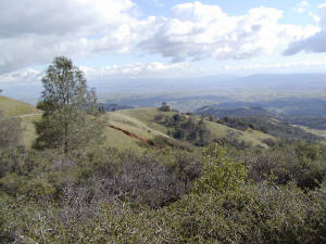
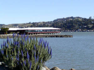
Contra Costa County
Contra Costa
March 2002

Halfway up the slope of 3,849 foot Mount Diablo, east of Walnut Creek.    From Mount Diablo's famous summit, on a clear day, you can see the Farallon Islands, off to the west, and Lassen Peak in the Cascades, to the north. 

San Francisco Bay
cntymapbay1.gif

Alameda, San Francisco, Solano, Santa Clara, Napa, San Mateo and Marin Counties.

Marin County
Marin
March 2002

Some spring flowers on the Richardson Bay shoreline, in the pretty town of Sausalito. 

Last Update:  January 5, 2010
 
© Michael Tena and Alice Chung (2001-2010)