Snapshots - California Counties

Central Valley, continued

Home
California Map
Bay Area
Bay Area, continued
Shasta Cascade
North Coast
Central Coast
High Sierras
Gold Country
Southern California
Central Valley
Central Valley, continued
Related Links
Contact Us

More farms and water features along the 400-mile-long Central Valley...

Kings County
Kings
August 2003

This cornfield is just outside the town of Hanford.   The area is known for its many dairies and creameries (e.g., Land O'Lakes and Haagen-Dazs), and so this is probably silage (feed) for those happy California cows. 

Yuba County
yuba.jpg
September 2002

A former swamp, Ellis Lake now a popular recreational area, right in the middle of the town of Marysville.

Glenn County
Glenn
September 2002

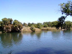
The banks of the Sacramento River, not too far from Hamilton City.

San Joaquin County
San Joaquin
July 2002

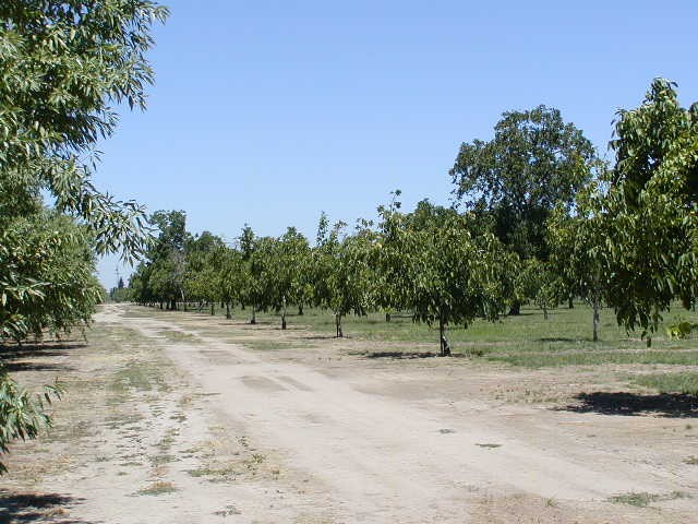
A plum orchard near Escalon, which is one of this agricultural county's seven cities.   The others are Lathrop, Lodi, Manteca, Ripon, Stockton and Tracy.  

Merced County
Merced
March 2002

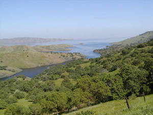
A slightly hazy look at San Luis Reservoir, from a hill in the Pacheco Pass area.   The reservoir was built in the 1960s to help meet the irrigation needs of farmers in the Central Valley.  You can camp and fish here, if you can deal with the hot, windy and generally treeless surroundings near the reservoir.

Last Update:  January 5, 2010
 
© Michael Tena and Alice Chung (2001-2010)