Snapshots - California Counties

Shasta Cascade

Home
California Map
Bay Area
Bay Area, continued
Shasta Cascade
North Coast
Central Coast
High Sierras
Gold Country
Southern California
Central Valley
Central Valley, continued
Related Links
Contact Us

The scenic northeast corner of California

Shasta County
Shasta
September 2002

Manzanita Lake, located in Lassen Volcanic National Park.   That's Lassen Peak in the background.

Butte County
butte.jpg
September 2002

The Feather River, as seen from a portion of the Feather River Scenic Byway (SR 70).

Siskiyou County
Siskiyou
September 2002

Mighty Mount Shasta (elevation 14,162 feet), from a vantage point near the town of McCloud.

Tehama County
tehama.jpg
September 2002

The North Fork of Deer Creek.

Shasta Cascade
cntymapcascade.gif

Shasta, Siskiyou, Lassen, Modoc, Tehama, Trinity, Plumas, and Butte Counties.
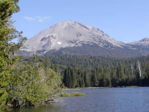
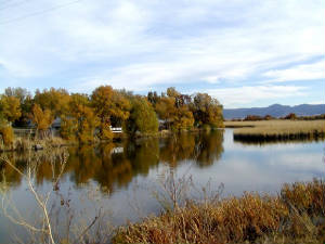
Trinity County
trinity.jpg
October 2003

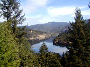
Pretty Lewiston Lake, in the Trinity River area near the historic town of Weaverville (SR 299).
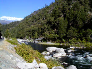
Plumas County
plumas.jpg
October 2003

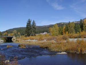
Plumas County is well known for its fall colors - maples, aspens, dogwoods, etc.   This is the Middle Fork of the Feather River.
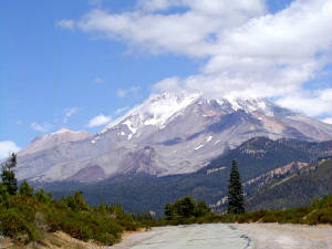
Modoc County
Modoc
October 2003

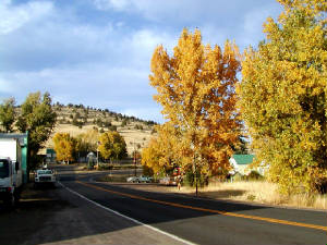
Modoc County is located at the northeastern corner of California and has a population of less than 10,000.  This is the little town of Adin.
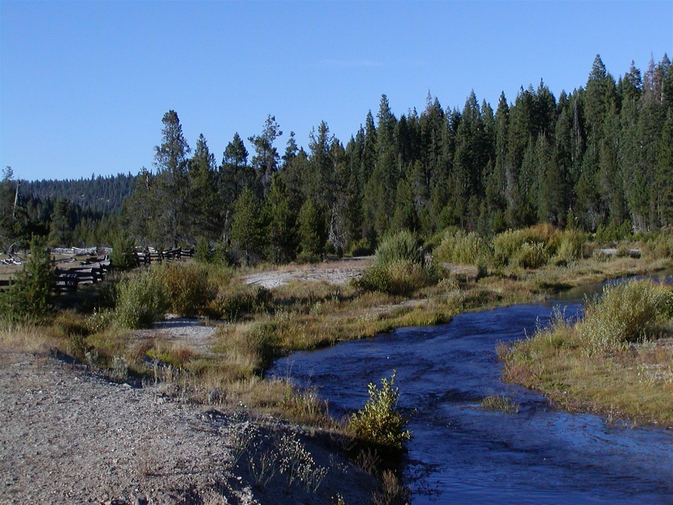
Lassen County
Lassen
October 2003

The Pit River, meandering past the small town of Bieber.   Bieber is in the area known as Big Valley.

Last Update:  January 5, 2010
 
© Michael Tena and Alice Chung (2001-2010)