Snapshots - California Counties

Central Valley

Home
California Map
Bay Area
Bay Area, continued
Shasta Cascade
North Coast
Central Coast
High Sierras
Gold Country
Southern California
Central Valley
Central Valley, continued
Related Links
Contact Us

California's "breadbasket," plus a thousand miles of Delta waterways

Colusa County
colusa.jpg
September 2002

A view of the hilly grasslands, oak and chaparral of the Capay Valley.    Like its neighbors, Colusa County also has an agricultural side, and it ranks as the nation's leading rice producer.

Yolo County
Yolo
September 2002

Cache Creek, at Camp Haswell Park, near Rumsey.   Portions of Cache Creek are very popular with the whitewater rafting set, and the area is also known for its interesting populations of bald eagles and tule elk.

Sutter County
Sutter
September 2002

Dried plums anyone?  A remarkable 99 percent of the nation's production of dried plums come from within a 30-mile radius of Yuba City.  This is the Sacramento River, at Yuba City.

Central Valley
Central Valley

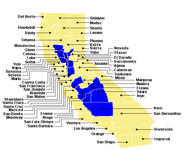
California's Central Valley counties.

Kern County
Kern
August 2003

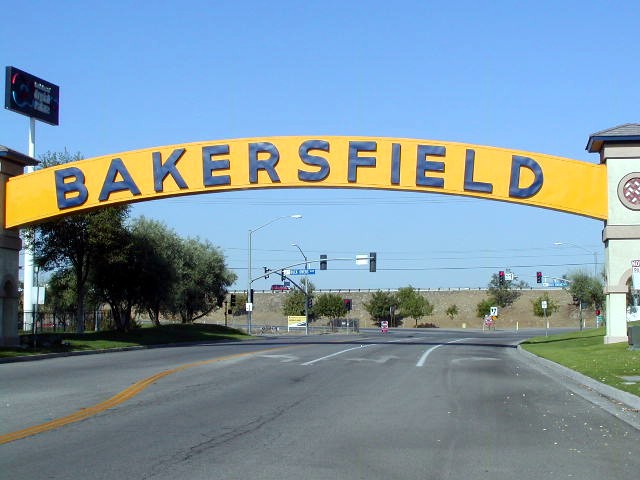
This landmark sign has been moved from its traditional site on Highway 99, but it has a new home on Buck Owens Boulevard, named after one of the city's favorite sons.

Tulare County
Tulare
August 2003

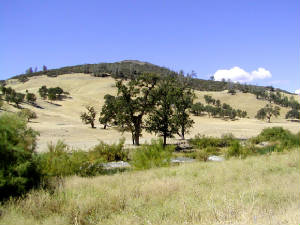
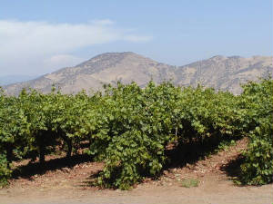
A crop of table grapes near the county's mountainous eastern side.   Tulare County ranks no. 1 among California's counties in agricultural output.  Other major products include milk, oranges, olives, pistachios and pomegranates.

Fresno County
Fresno
August 2003

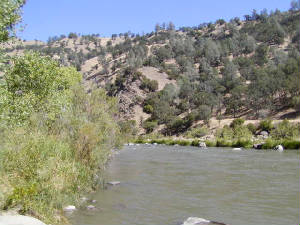
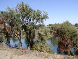
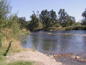
Huge in agriculture, Fresno County also offers a lot of outdoor recreation.   This is the Lower Kings River, between Fresno and Kings Canyon National Park.   In addition to Kings Canyon, two other national parks are nearby - Sequoia and Yosemite.

Last Update:  January 5, 2010
 
© Michael Tena and Alice Chung (2001-2010)